What is Coastal Navigation? A Guide for Aspiring Sailors
If you're drawn to the open sea, with dreams of harnessing the wind and exploring new shores, you might have already encountered the term "coastal navigation." Whether you're a novice looking to get into sailing or an experienced sailor wanting to refine your skills, understanding the basics of coastal navigation is essential for safe and enjoyable voyages. In this log post, we'll explore what coastal navigation is, why it's important, and the fundamental skills and tools involved.

In its simplest form, coastal navigation is the art and science of guiding a vessel along a coastline. Unlike deep-sea or celestial navigation, where a sailor is often out of sight of land, coastal navigation involves navigating within sight of the shoreline or using nearby landmarks and aids to navigation to help determine your position.
It’s more than just steering your boat in the right direction. It involves understanding tides, currents, weather patterns, and various navigation tools to ensure you arrive safely at your destination. For sailors, mastering coastal navigation opens up a world of exploration, allowing you to sail confidently along coastlines, between islands, and into unfamiliar harbors. The best way to learn these skills is through an accredited program like American Sailing's ASA105 Course.
Coastal navigation is not just about finding your way; it’s about safety and confidence. The coastline can be unpredictable. From rocky shores to sandbanks, busy shipping lanes, and sudden changes in the weather, there are numerous challenges that sailors must be prepared to handle.
Navigating along the coast requires a mix of traditional and modern skills. While technology has made navigation more accessible than ever, it’s important to understand the principles behind the tools you're using. Here are the key elements of coastal navigation:
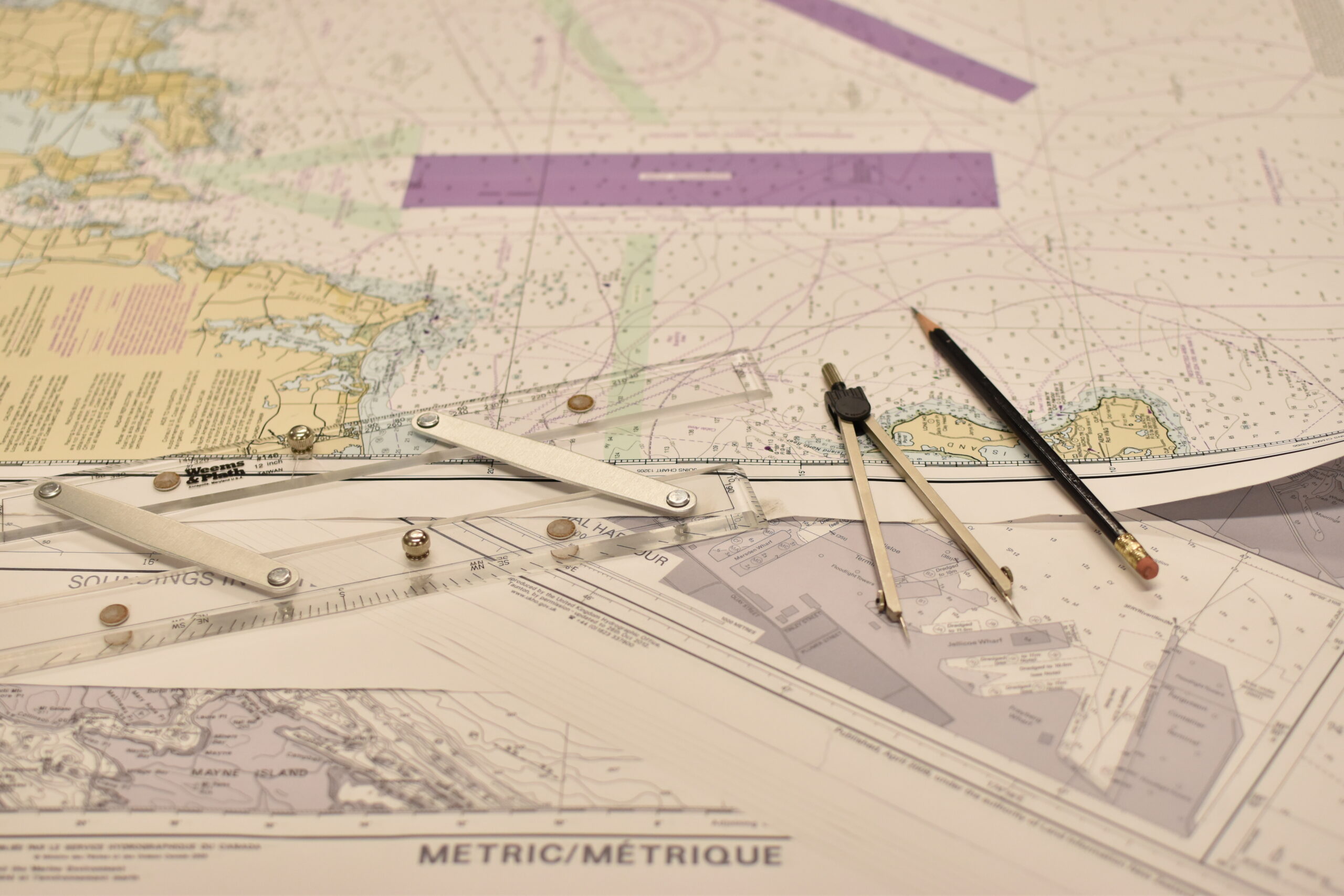
Just as you would use a map on land, sailors rely on nautical charts to guide them at sea. A nautical chart is a graphic representation of maritime areas and adjacent coastal regions. It shows important information such as:

Learning to read these charts is a fundamental skill in coastal navigation. They give you a visual understanding of where you are and how to get to your destination safely.
Dead reckoning is one of the most basic forms of navigation and involves calculating your current position based on your last known position, speed, course, and time. While it’s not 100% accurate (since it doesn’t account for wind, current, or tide), it’s still a valuable method for estimating your position, especially in cases when GPS or electronic systems might fail.
By plotting your course on a chart, you can visualize your route, take into account any obstacles or hazards, and determine how long it will take to reach your destination.
When you’re sailing close to the shore, you can use recognizable landmarks to "fix" your position on a chart. For instance, a lighthouse, a church steeple, or a specific point of land can help you verify your location. By taking bearings on two or more objects and plotting them on a chart, you can pinpoint where you are.
This method is often referred to as "piloting" and is one of the oldest forms of navigation. While GPS has made this less common, it’s still a valuable skill when sailing in areas where electronic devices may lose signal.
One of the most critical aspects of coastal navigation is understanding how tides and currents affect your boat. Both can significantly impact your speed and course.
Weather plays a huge role in sailing, and part of coastal navigation is interpreting weather forecasts and understanding how weather systems behave along the coast. Wind direction, storm patterns, and sea state can all influence your ability to navigate safely.
Modern sailors have the advantage of detailed weather apps and GPS devices, but you should also be able to read the signs of changing weather from nature—like shifts in the wind or cloud formations—so you can make informed decisions on the water.
In the modern age, sailors have access to a wide range of electronic navigation tools. While traditional methods are still essential, these devices can make navigation more accurate and easier:
While these tools are invaluable, it’s crucial not to become overly reliant on them. Batteries can die, systems can malfunction, and signals can be lost, so always have a backup plan and know how to navigate manually.
If you're serious about sailing, taking a coastal navigation course is highly recommended. Victoria Sailing School provides this course via an online live webinar every year, and you will get hands-on experience with charts, navigation tools, and real-life scenarios.
In addition to formal training, practice is key. Every time you head out on the water, you’ll have an opportunity to refine your skills. Try navigating without using your GPS for short stretches, practice fixing your position using landmarks, or take note of how tides and currents affect your route.
Coastal navigation is the foundation of safe and enjoyable sailing along coastlines. It blends traditional methods with modern technology, and mastering it opens up countless opportunities to explore new waters. For those looking to venture beyond their local harbor or marina, developing strong coastal navigation skills will give you the confidence to navigate safely and efficiently, no matter where the wind takes you.
So, whether you're new to sailing or looking to sharpen your navigational skills, take the time to learn the art of coastal navigation. Your future adventures at sea depend on it!