- Courses Navigation Courses Celestial Endorsement
Celestial Endorsement
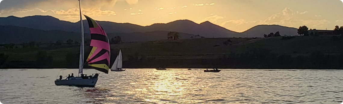
This course is designed as an introduction to Celestial Navigation, using the sun to navigate across oceans.
Until the invention of an accurate clock, mariners navigated across oceans using only a noon sight - measuring the angle of the sun to the horizon at noon. Since the definition of (local) noon is when the sun reaches the highest point in the sky, no time is needed.
This works just fine for determining your Latitude, but is not accurate enough for determining Longitude. This being said, knowing your accurate Latitude is enough to safely navigate the vast majority of the earth's oceans. Any of the following locations can be located knowing only your Latitude; any port on either the east or west coast of North / South America, the English Channel, Straights of Gibraltar, any East/West passage. One notable exception would be the Panama Canal - the canal actually runs North and South through Central America, so to find the entrance, one would need an accurate Longitude.
Prerequisites:
Coastal Navigation (Highly recommended, but not absolutely required).
Upon Completion:
You will have been taught how to take, compute and plot a noon sight. The assumptions of the course is that he engine died long enough ago that there is no longer any electricity available.
Starting Dates:
Live Online Webinars: This class is taught by an instructor, online, typically starting at the end of January each year on Tuesday evenings, running from 6:30 p.m. to 9:30 p.m. MST. For the 2026 year, the starting date is Tuesday, January 20th, 2026. Recorded sessions are available at any time. The live sessions go for 3 weeks.
Recorded Sessions: Since all of the sessions are recorded it is possible to start at any time and run through the recorded webinars at your own pace. For 2 years from the date of purchase, you will be considered an "Active" student and will have access to all of the videos and live presentations to complete the class. You can reset the clock and retake the course for the cost of the materials package.
Any "active" student can attend any of the live online sessions
Getting Started:
- After you have registered, you will receive an automated email with instructions & credentials for the recorded classes.
- We will send out instuctions for joining the live course in January.
- We will be mailing out your package containing the items listed below under the "Included" section.
Included:
- Notes relating to the text and excerpts from other publications
- Questions relating to the lectures and notes
- Answers to course questions
- An ASA Certified exam
Required:
- Parallel Rules (or a rolling ruler)
- Dividers
- Several pencils and a VERY large eraser
- You will NOT need a sextant.
General Description:
Topics covered are:
- Convert between standard time and zone time to GMT/UT in either direction.
- Calculate the zone time at a given longitude.
- Determine the times of sunrise, sunset and civil twilight for a vessel's position.
- Know the parts, principals and operation of a traditional sextant.
- Determine altitudes of the Sun and Polaris by a traditional sextant.
- Obtain Latitude and Longitude at noon (LAN) by applying the sextant corrections for conversions of the raw sextant altitudes (hs) of the Sun to the true celestial altitudes (HO) of the Sun.
- Determine the vessel's latitude and estimated position at morning and evening twilight by means of the altitude of Polaris.
- Plot latitudes and EP on a Universal Plotting Sheet.

